Okay, so the posts are a little out of order. Imagine that this was posted on Monday, and life will be good. :)
Kendal Camp to Maverick Mountain
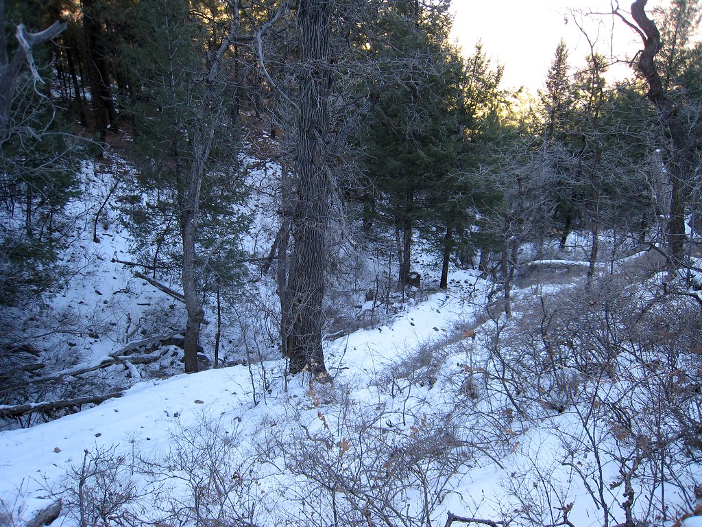
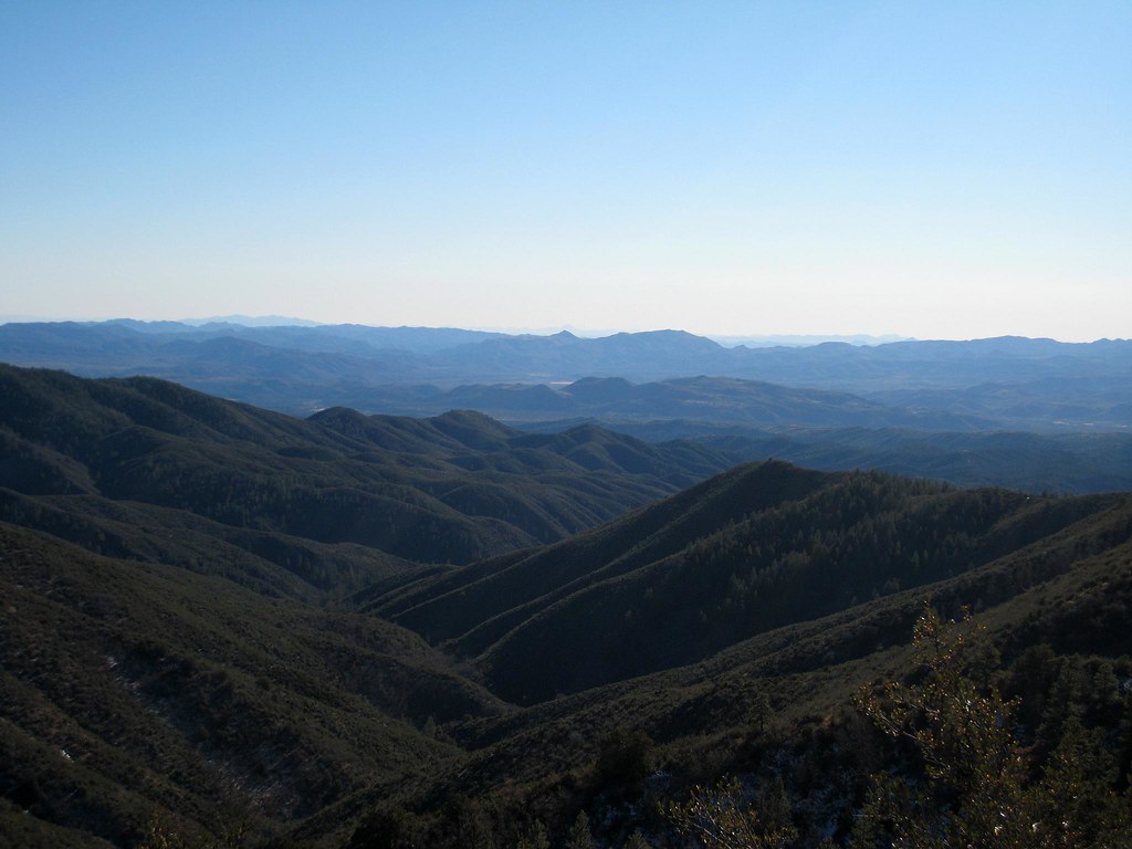
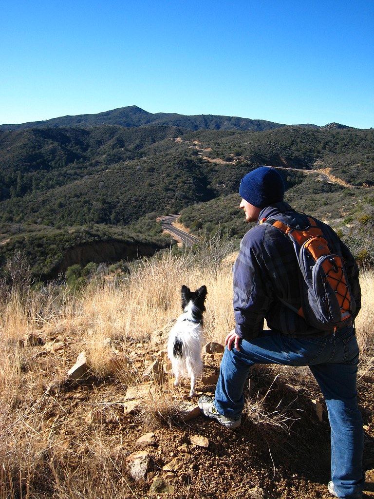
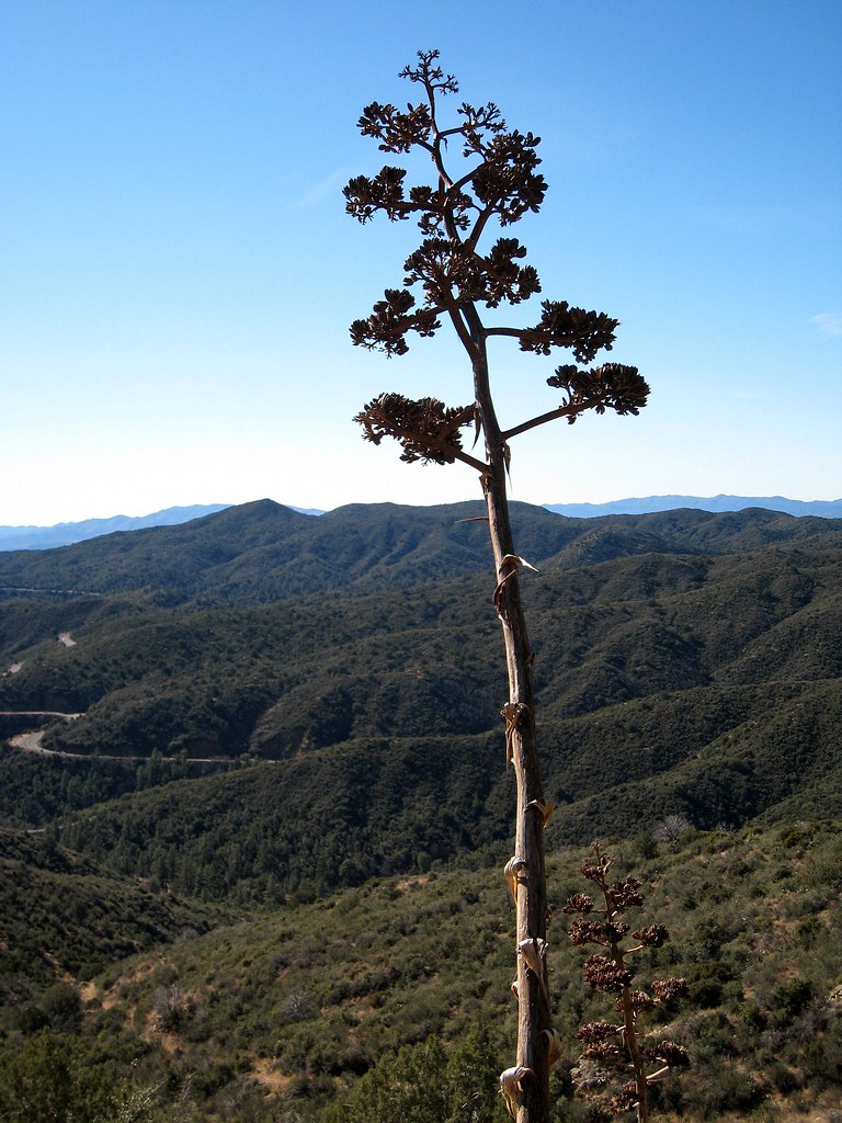
Saturday Chris ended up having to work, so what I had planned as a duo hike, turned into a solo. I went to Kendal Camp, and found the trailhead to go up to Maverick Ridge (unlike last weekend). The hike was surprisingly hard. It was about 30 degrees out and to get to the ridge you have to hike up the snowy side of Maverick Mountain. Not only was it a strenuous hike, but with 2-3 inches of crusty snow on the ground, it was VERY slow going. Step - sink, step - sink, very annoying. Scrappy of course was having a blast. After an hour of hiking to cover the 1.5 miles up the hill, we finally hit the saddle between Maverick Mountain and Mt. Tritle. This was as far as read in the trail book, so I took a right and followed an abandoned quad trail which looped around the mountains. On the sunny side of the hill it was about 55 degrees, so I ended up having to ditch all my layers in the sun, then put them all back on when I would get to another snowy section.
After about another 1.5 miles I looked at my watch, and realized that I needed to turn around now or risk hiking out in the dark, as well as having DaNece call Search and Rescue (I always give her a time to call them if she hasn't heard from me). So I turned around, and still ended up jogging some of the 3 miles back so that I could get back to the truck in time. All-in-all it was an absolutely gorgeous hike, but with the snow it's difficulty was increased. I think I would wait until spring/summer to repeat this trail, and go to Mt. Tritle from the saddle to see the views that everybody talks about. :) Of interest: Arizona Highways had an article about this trail.
East Copper Trail #260 - with Chris
After leaving me hanging on Saturday, Chris wanted to hit the trails with me on Sunday. Hey - I'm always down for a good hike. So I looked through the trail book, to find a trail that was rated 'easy'. After all, my legs were still hurting from the hike on Saturday.
I find one that piqued my interest: East Copper Trail #260.
Length: 1.5 miles,
Elevation Change: 450ft,
Difficulty: EASY.
That sounds about right, spend about 2 hours on the trail with a few breaks, nothing harder than Chris can handle, and something that will let me work the kinks out of my legs.
Oh how wrong I was.
I should have known it was all going to go awry when we couldn't find the trail by the directions given in the book. Most of the time the book is spot-on, but every now and then it is off by a few miles on getting to the trail. So after a string of lucky guesses, we end up looking at a trail sign: EAST COPPER TRAIL #260. Perfect, we've found it. Everything the book told us was wrong.
The hike starts right up a hill, and I think to myself: "Wow! That 450 Feet elevation gain is going to be in the first 1/2 mile." So we keep plugging along, and it continues to climb, and climb. We know that we are nearing or exceeding the stated elevation, but we figure what the hell; we are here, so we keep on truckin. After almost 2 hours, I know I'm going to hurt tomorrow. We finally get to a level spot (not the top of the mountain), and stop for a break with a few snacks, and lots of water. We then get the bright idea that we will just bushwack down the hill to the Forest Road we came in on (which is plainly visible). Little did we know that it turns into nothing but thick underbrush 50-100 ft below the trail. That was a short adventure, but one that left many scratches to remember it by.
We decide to go back the way we came. Chris wants to know exactly how much elevation we changed, so we both take a guess (I say 900ft, he says 1400ft) and Turn on the GPS for the trek back. An hour later and I am the winner, with a downward elevation change of 1022 ft. Man, that was a blast, can we go home now?
3 comments:
So just where is the Copper Trail? Which mountain does it climb? Not that I am going to do any 1000 ft. climb these days, but my LH & used to explore the hills, roads and some trails here and there.
You can get there by South Highway 89, or from Copper Basin Road (beyond the turn that leads to the scenic outlook, heading away from the outlook.) I believe the Forest Road number is 53. Following this road for about 5 miles gets you to the trail-head. As far as the name of the mountain, I am not sure. From the look of THIS MAP it appears that the trail heads up to Mt. Francis eventually.
There are definitely mining claims up there, I'm assuming for copper. We passed one on our small trek, and I'm sure there are more, considering that copper was big in that area.
I'm thinking that possibly we somehow missed the turnoff for the north part of the trail, and ended up at the southern entrance, which is why not only the description, but also the terrain, was not as described in the book. At least I hope that it was a boneheaded mistake on my part, otherwise the book is way off.
Thanks -- that places it pretty well for me. I had suspected it had some relationship to either Copper Creek and/or the Copper Basin.
Post a Comment